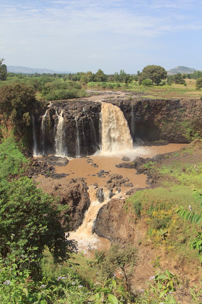
Up Ron & Marjolijn's holiday pictures » 2013-11 Ethiopia » 02-Bahar Dar Prev Next Slideshow

 Previous image  Next image  Index page  Original Image [31-Blue Nile Falls.jpg - 1.1MB]
19-On their way to the market
21-Local girl
22-Local girl
23-Old Portuguese bridge crossing Blue Nile
24-On their way to the market
25a-The remainder of the Blue Nile after a few rain showers
25b-The remainder of the Blue Nile after a few rain showers
26-On their way to the market
27-On their way to the market
28-Blue Nile Falls
29-Blue Nile Falls
30-Blue Nile Falls
  31-Blue Nile Falls.jpg - Blue Nile Falls  
33-Blue Nile Falls
33-We in front of the Blue Nile Falls
34-On their way to the market
35-On their way to the market
36-Children at the cattle market
37-Children at the cattle market
38-Children at the cattle market
39-Cattle market
41-Children at the cattle market
42-Children at the cattle market
43-Luch in Bahar Dar
44-Ura Kidane Mihret (monastery)

Blue Nile Falls Download Original Image
Latitude: N 11°29'25,98" | Longitude: E 37°35'21,26" | Altitude: 1655 metres | Location: T’īs Isat | State/Province: Amhara Region | Country: Ethiopia | Copyright: Ron Harkink | See map
Total images: 53 | Help